Geospatial Intelligencefor the Region's MostImportant Projects.
From satellite imagery to digital twins, from GIS consulting to enterprise AI platforms — Quantiera brings the full depth of geospatial intelligence to the organizations shaping this region.
The intelligence behindevery decision.


One partner.Every dimensionof your geography.
Whether you need to understand a landscape, transform your spatial data infrastructure, build an AI-powered monitoring platform, or visualize your entire operation as a living digital twin — Quantiera is built for the full journey.
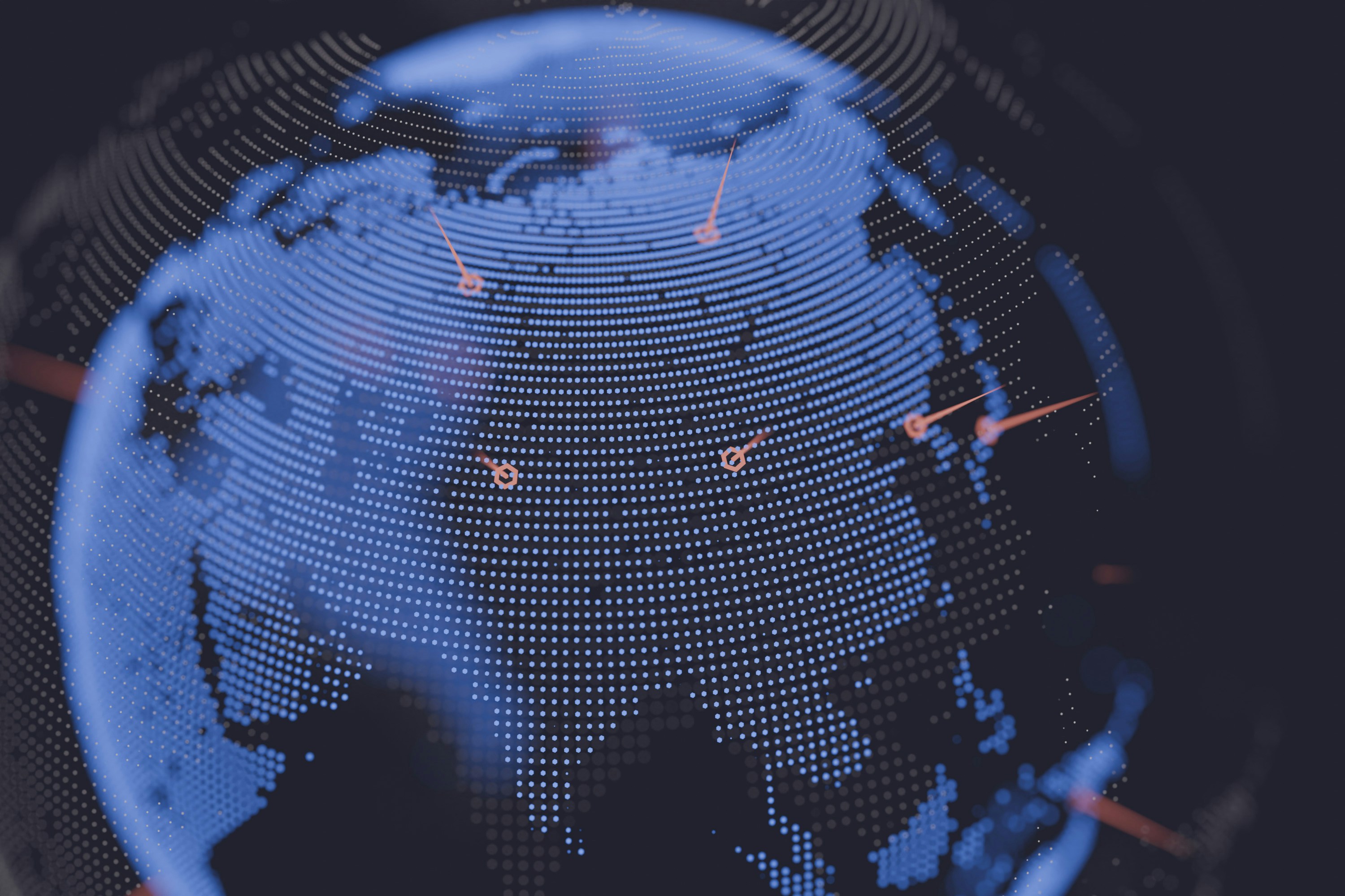
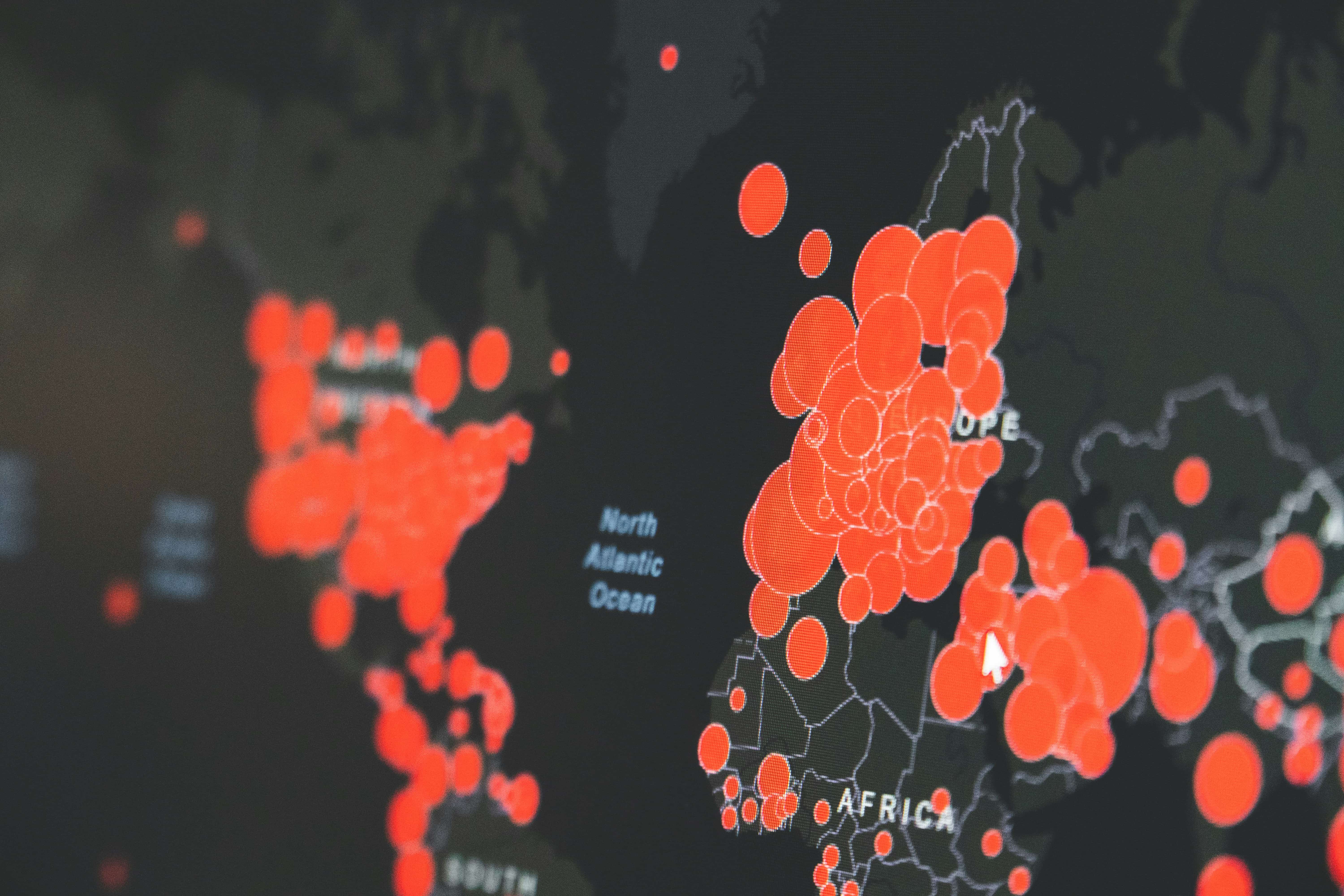
AI Geospatial Analytics
التحليلات الجغرافية بالذكاء الاصطناعي
Automated detection, classification, and change analysis across any satellite or aerial dataset — delivered at operational speed.
Remote Sensing & Imagery
الاستشعار عن بُعد وتحليل الصور
Optical, SAR, multispectral, and hyperspectral analysis. All-weather, day and night. Every terrain, every scale.
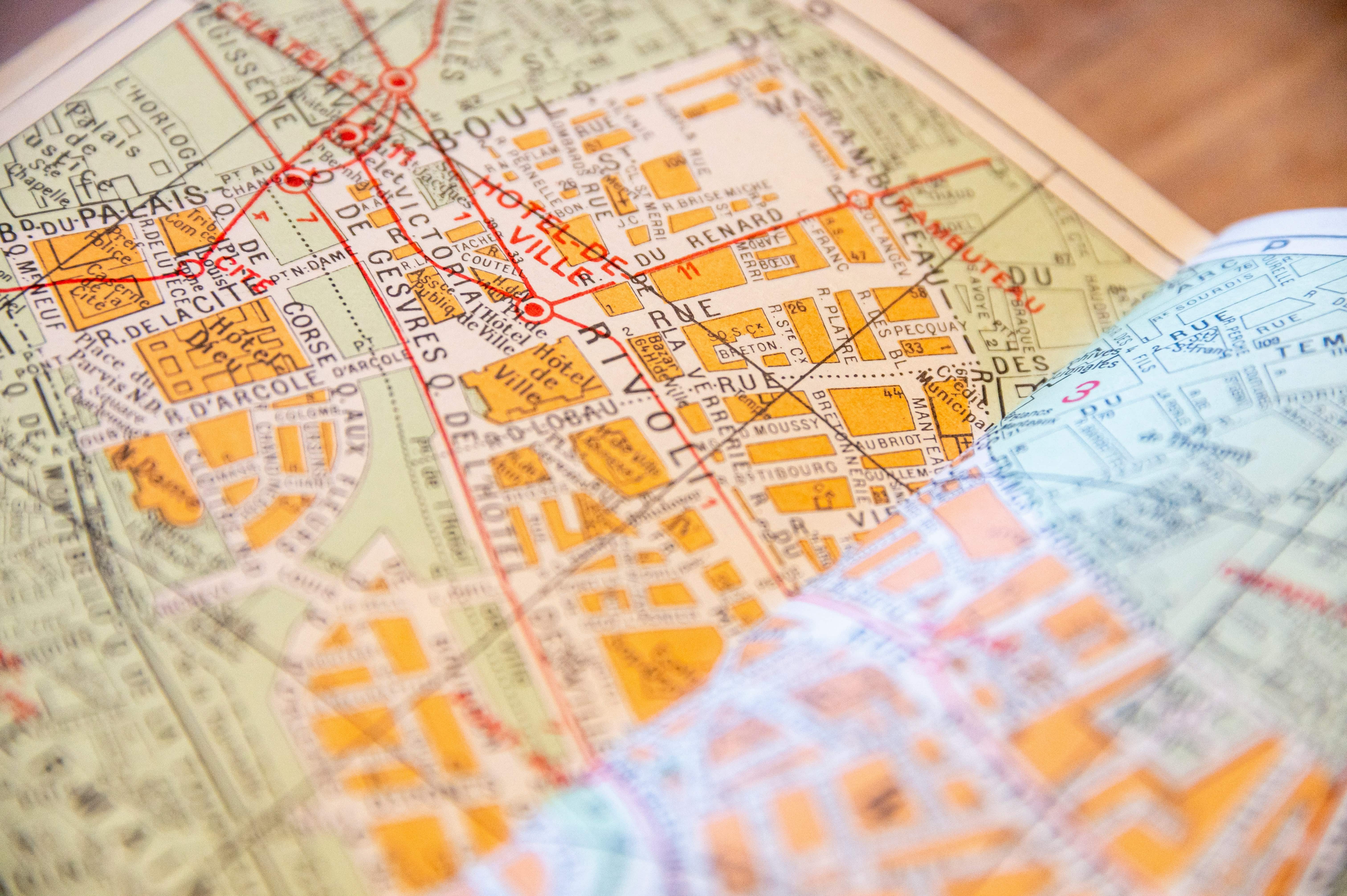
GIS Consulting & Transformation
استشارات وتحول نظم المعلومات الجغرافية
Strategy, architecture, and implementation — from spatial data governance to full GIS ecosystem modernization.
Spatial Data Engineering
هندسة البيانات المكانية
The pipelines, databases, and infrastructure that make your spatial data reliable, fast, and actionable at scale.
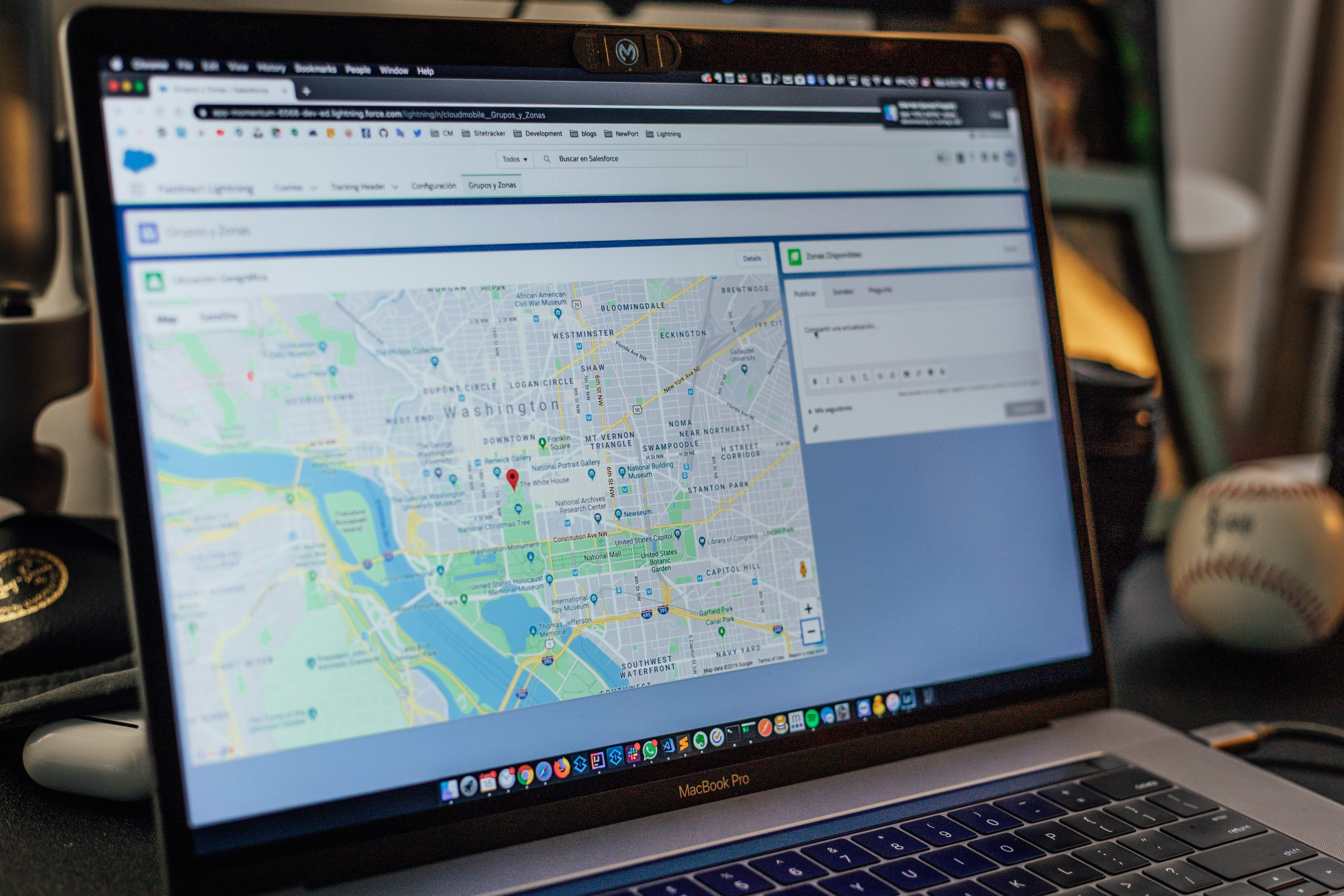
Enterprise GIS Platforms
منصات المعلومات الجغرافية المؤسسية
Custom platforms built on your requirements — not adapted from someone else's. Integrated with your systems from day one.
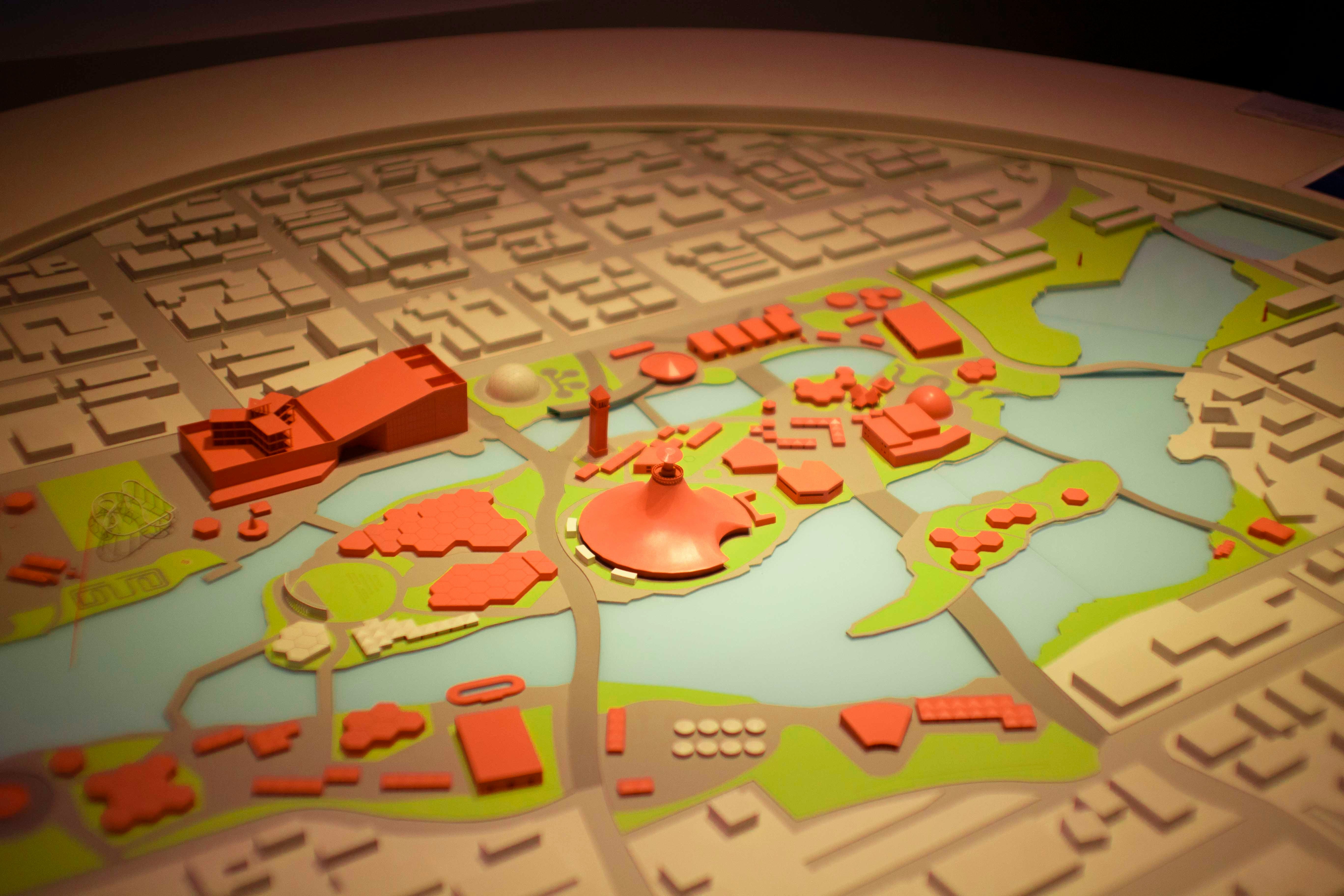
Digital Twin & Smart City
التوأم الرقمي والمدن الذكية
Living, queryable models of your city, facility, or operational environment — updated continuously from live data streams.
Not just data.
Intelligence you can operate.
Not reports.Living systemsbuilt on maps.
We build the platforms your engineers and operations teams run on every day — from interactive maps to live digital twins.
ليست تقارير.
أنظمة حية
تعمل على الخرائط.
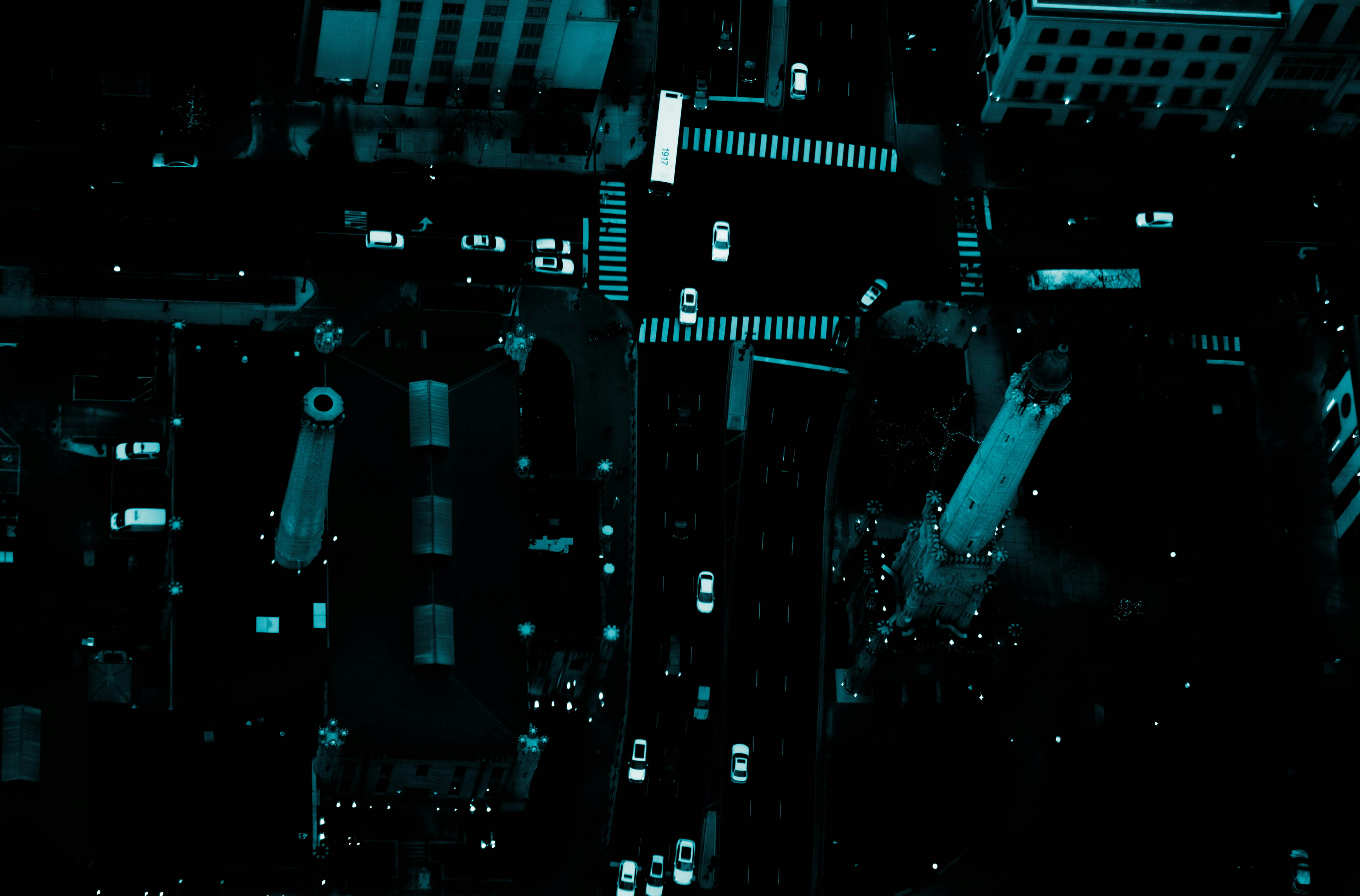
The earth never stops.Neither does our system.
24/7 continuous monitoring across multi-satellite feeds, real-time detection models, and AI-powered alert escalation.
Your city.Alive. Precise.Updated from space.
We build living digital copies of infrastructure, cities, and agricultural land — auto-updated with every satellite pass, so your model always mirrors reality.
The challenges are different.
The intelligence is the same.
التحديات مختلفة. الذكاء واحد.

بُنيت في المملكة. للمستوى الذي تستحقه المملكة.
Built in the Kingdom.For the scale the Kingdom demands.
Quantiera is not a foreign platform adapted for the region. It was conceived, built, and continues to grow here — shaped by the land, the language, and the ambitions of the people who call this place home. We understand what is being built. We are proud to be part of building it.